Terrain and City Modelling| Grasshopper as a Tool

Workshops @ ArchiDiaries | AUTUMN 2020
Save
Terrain and City Modelling| Grasshopper as a Tool

Information

    Date: 13, 15, 16, September 2020

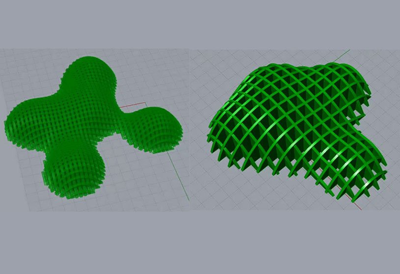
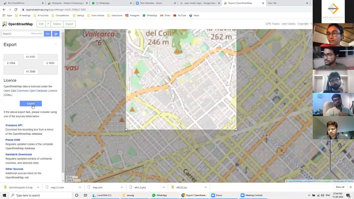
    In these sessions students learnt to create city modelling in grasshopper. For this, students got their height maps from www.terrain.party website and learnt how to create 3D using those height maps. Further continuing that, students used Elk to fetch open street map data and create 3Dbuilding from OSM data. Also, students are taught going string search using Mosquito (Sonic) to fetch data of their choice.

    Terrain and City Modelling| Grasshopper as a Tool
    Image showing Taking OSM data from tarrain party
    Terrain and City Modelling| Grasshopper as a Tool
    Image showing Taking points from OSM data

    Terrain and City Modelling| Grasshopper as a Tool

    Terrain and City Modelling| Grasshopper as a Tool
    Image showing Creating Contour from collected points

    Terrain and City Modelling| Grasshopper as a Tool

    Terrain and City Modelling| Grasshopper as a Tool
    Image showing creating parametric plates to generate form

    Leave a Reply